This is the first blog post in a series, written by the South Shore Connectors last summer. We hope you’ll follow their story! (For all the background info, click here).
The first step we had to take for this summer as South Shore Connectors was the planning stage. How does one go about selecting the best places to explore in the South Shore, and then fit them into a single summer?
Lunenburg County was the easiest for us, having both lived here most of our lives. Immediately we thought of the LaHave Islands, Indian Falls, and Green Bay beach, some of our favourite places to visit every summer. Outside of Lunenburg County, we decided one of the best ways to find where to go was to ask people from the area. We contacted individuals from every municipal recreation department, and compiled a list of all of their suggestions.
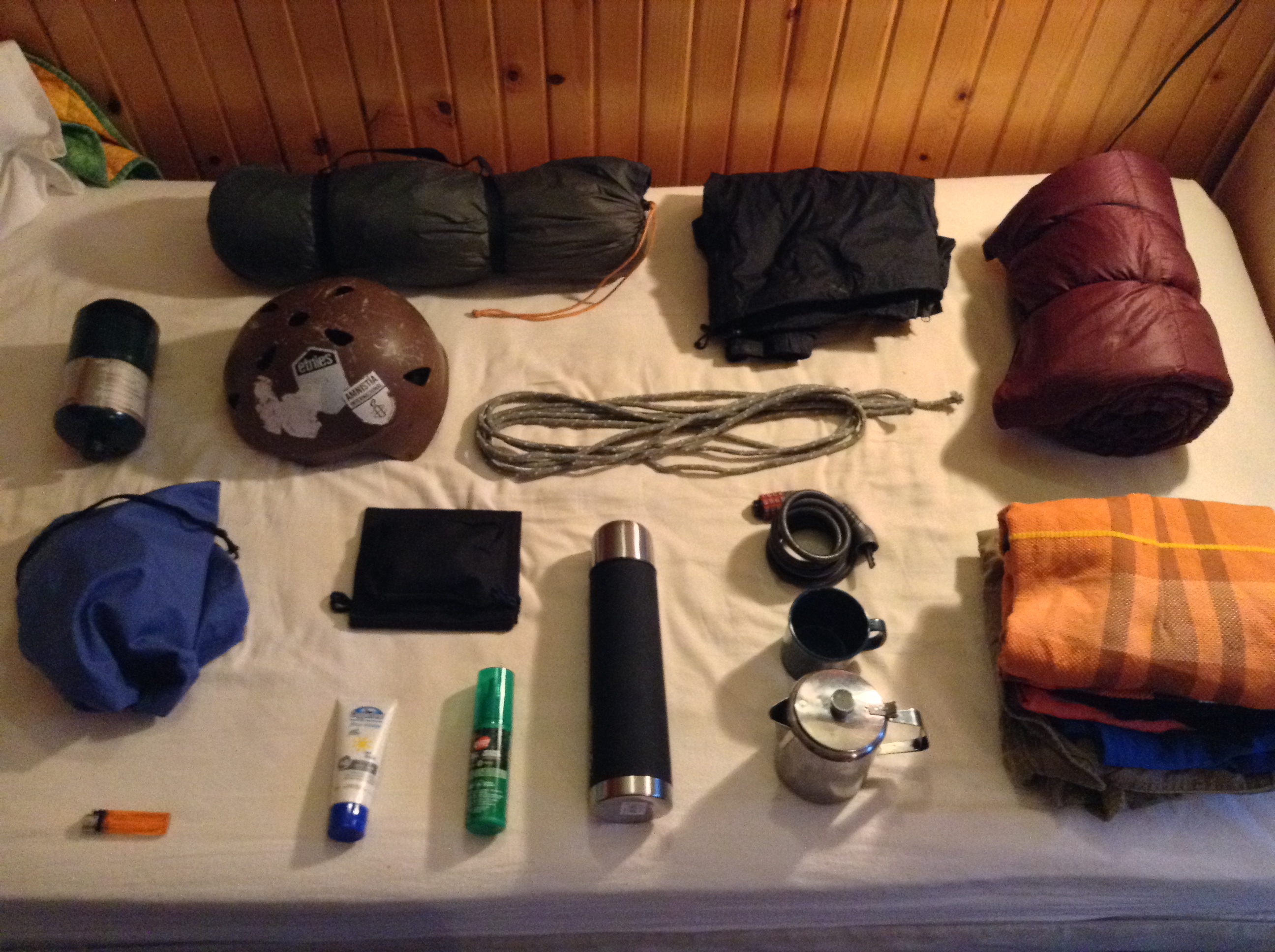
From there we moved to maps, actual paper ones. Google is fantastic, but it makes everything easier when you can circle the places you want to go, draw your route, and write down the distances. As much as we enjoy heading out with our backpacks and seeing where our feet take us, it’s reassuring to have an idea of where you’ll be putting up your tent each night! And, from a safety point of view, a paper map is much more reliable if your wi-fi isn’t.
Read more...
After a few days spent in the office planning, using South Shore Connect and maps to design our route, we came up with our complete list of activities for the summer. Click the links to find out more about each place!
- Chester – Graves Island Provincial Park, East River Provincial Picnic Park, Chester Connection Trail
- Lunenburg/Mahone Bay – Jubilee Park, Bachman’s Beach, cycling through Blue Rocks, Hirtle’s Beach, Gaff Point hike
- Kejimkujik National Park – Liberty Loop trail
- Queens County – Summerville beach and trail, Rail Trail to Port Mouton, Carter’s Beach, Kejimkujik Seaside Adjunct
- Shelburne – Sable River footbridge, Crescent Beach, The Islands Provincial Park, Sailing in Shelburne Harbour, Rail Trail to Birchtown
- Barrington/Argyle – Cape Sable Island/The Hawk, Rail Trail through East Pubnico, Glenwood Provincial Picnic Park, Argyle Recreation Annual Biathlon
- Yarmouth – Ellenwood Lake Provincial Park, Port Maitland Beach Provincial Park, Cape Forchu light station + Lief Ericsson park, Surrette’s and Morris Islands
- Bridgewater and area – Green Bay beach, Gaff Point, Cherry Hill Beach, Crescent Beach, Risser’s Beach Provincial Park, kayaking in the LaHave Islands, Centennial Trail, Indian Falls, South Shore Annapolis Valley Trail, River Ridge Common
So much to see! With list in hand we set out on July 8 to explore the South Shore. We hope you’ll keep following to hear how the journey went.
–Tucker and Marika